Solarisphere
History
- Member for
- 6 years 7 months
Recent Posts

Single 265/75R16 A/T tire for spare
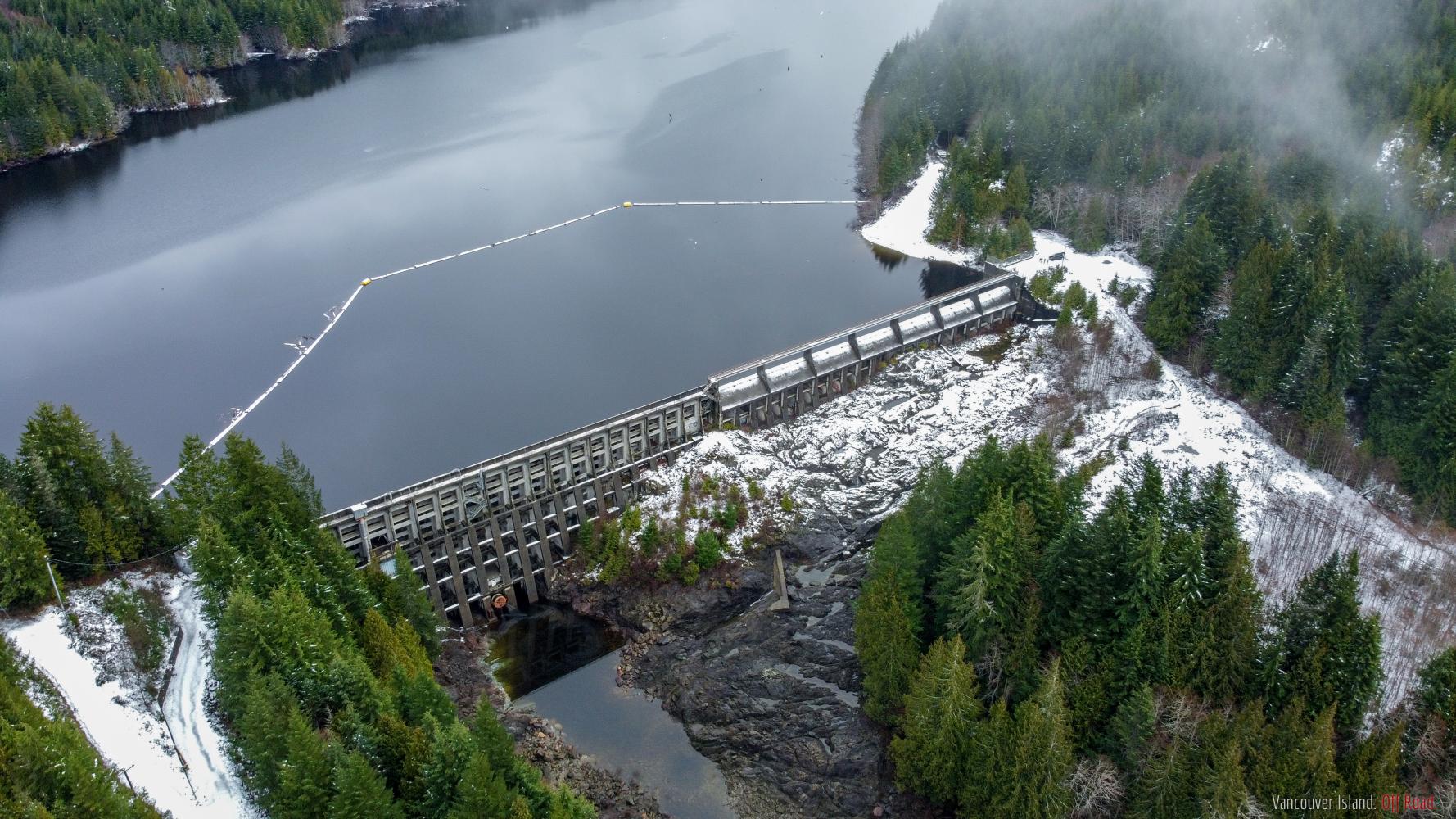
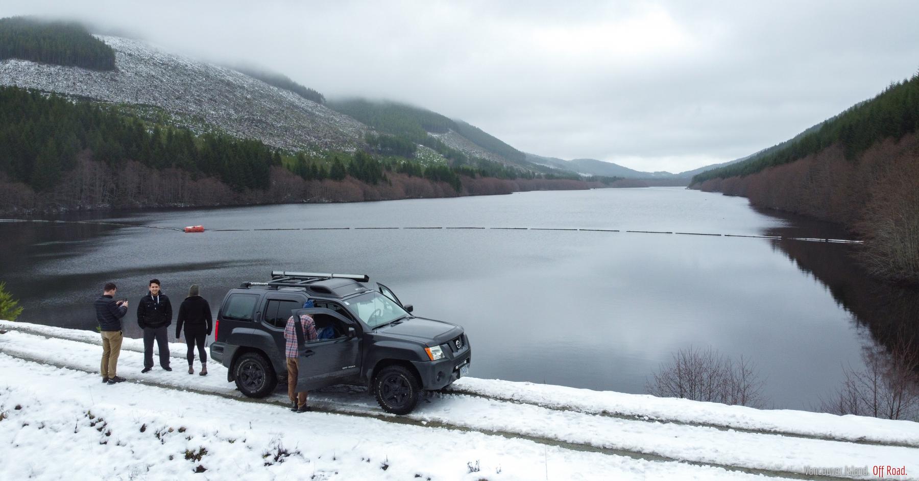
Diversion & Bear Creek Reservoir Access
Recent Comments
If you want to sell just one I might be interested depending on age and what the tire is. I don't need four though.
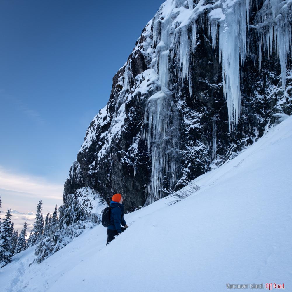
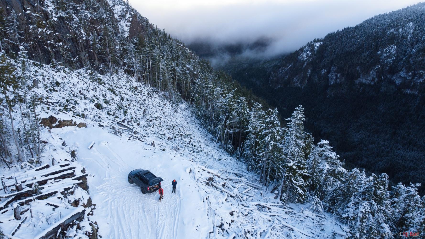
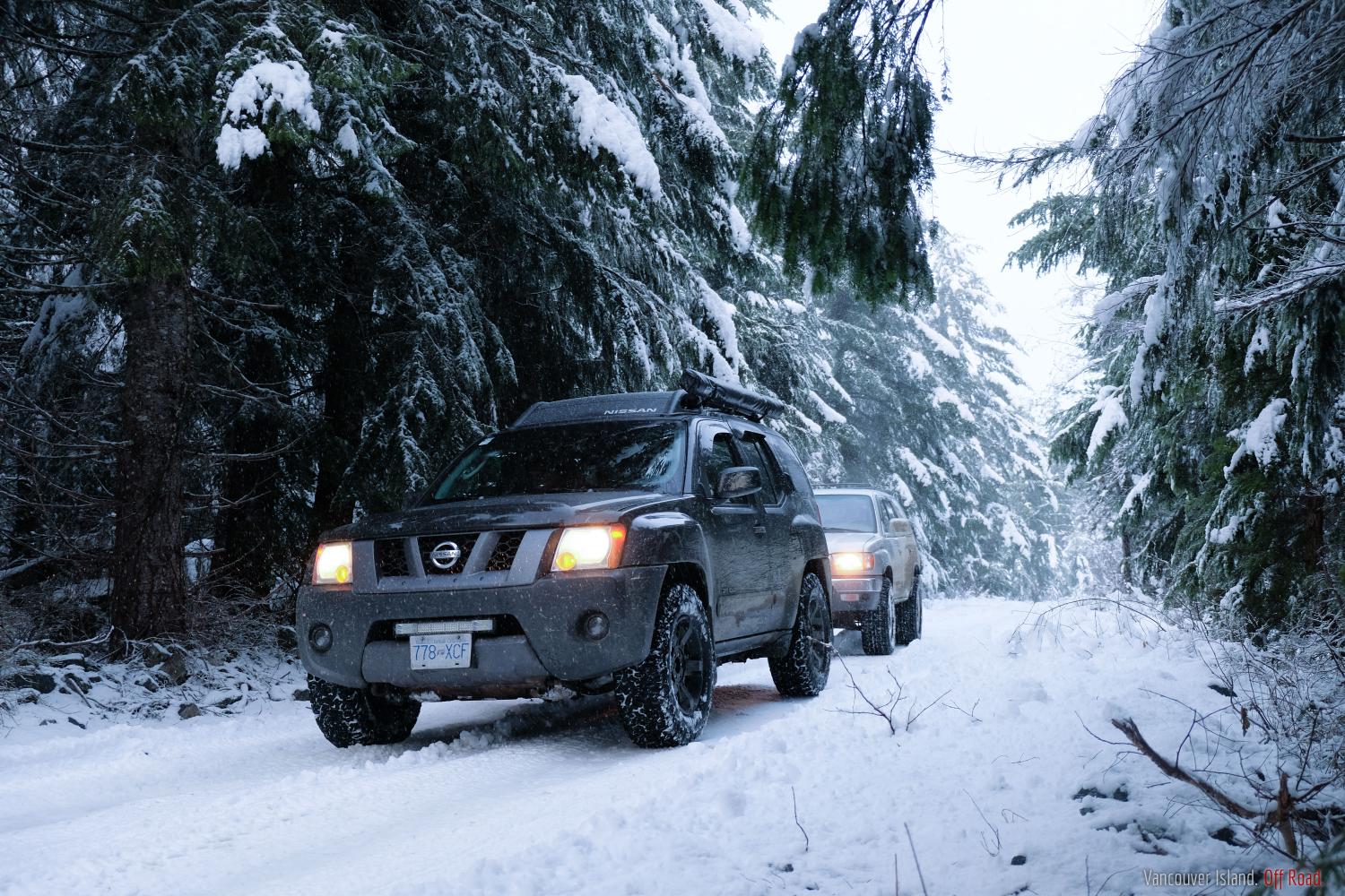
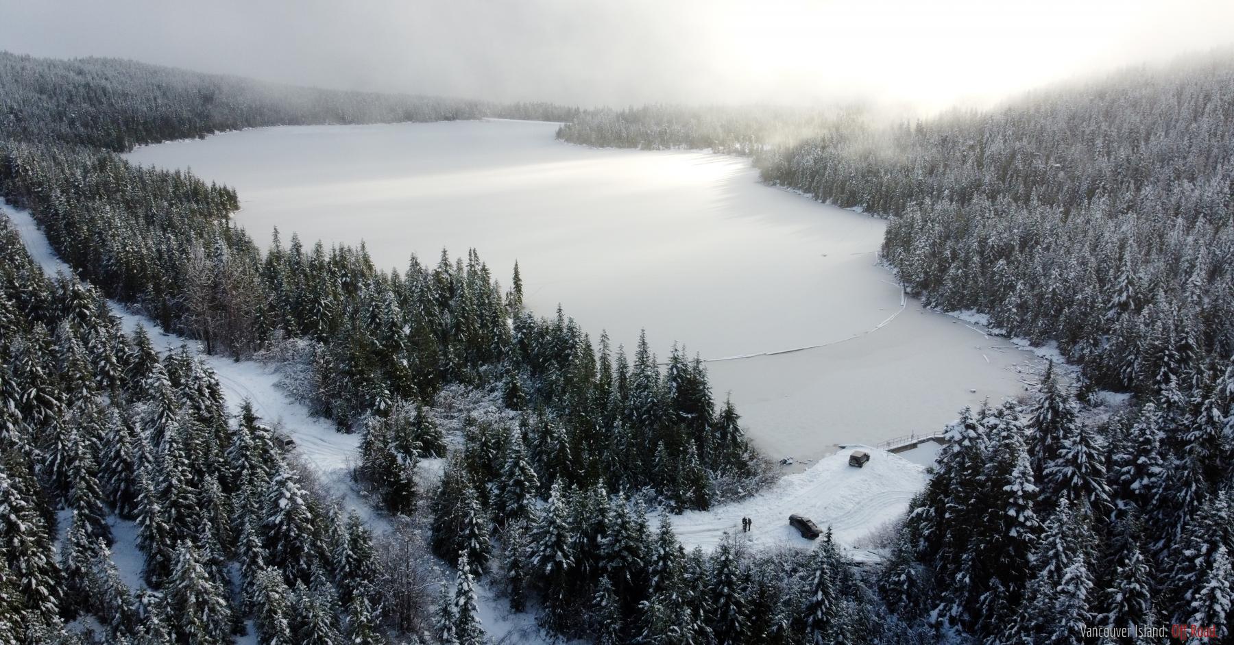
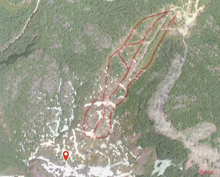
Yes, made it up. Road is in great shape up to Diversion with the exception of a small washout. We carried on the Bear Creek Reservoir and the road was a bit rough but easily passable in a 2WD vehicle. There was a couple inches of wet snow but there's probably a lot more now. Muir main was gated, didn't check Tugwell/Anderson. Mosaic Access said it was closed but from the public tracks on Gaia it looks like there's a very popular bypass. Could be quad access only though, hard to tell from the satellite photos.
Damn that's too bad; it's such a nice area. I've heard of the break-ins but I didn't realize it was that bad. Still lots to see and do outside of that area though.
I would do a short loop in the south island for a few days and then head north for the remainder. Most of the land in the south island is owned by the forestry companies and gated, especially in fire season.
From Victoria head to the west coast through Sooke and then towards Port Renfrew. Some stops along the way could be Mystic beach (45 min hike, 48.43881, -124.11505) or Sombrio beach (10 min hike, 48.49691, -124.29829). China (48.43360, -124.09304) and French (48.39295, -123.94192) beaches are also options for a quick stop (no hike in) but not as nice IMO. Sandcut falls (48.41259, -124.01387) is cool too.
Once you hit Renfrew take bugaboo main into Walbran Valley (48.65133, -124.59411). It's right outside Carmanah-Walbran park, which is the largest patch of productive old growth forest left on the island. There are some volunteer built trails and boardwalks, stunning swimming holes, waterfalls, and massive trees - some around 20' in diameter at the base. There are several spots to camp on the logging roads there.
From there you could head up the Nitinat river past Lake Cowichan and back to the Island Highway to head north with possible stops at Carmanah Valley (similar to Walbran), Nitinat river rec sites (riverbank camping), Cowichan River (great tubing).
Once you get north there's a ton more options. Strathcona Park has great hiking but no off-road opportunities. Campbell River --> Gold River --> Woss --> Port Alice is one possible route. San Josef Bay in Cape Scott park is one of the nicest beaches on the island and would make a good day trip. If you've got any more specific questions or need help refining your route I'm happy to help.
Never heard of skydeck... I'm intrigued. I think I've narrowed down which hill it's on but I still have no idea what it is. From the photo it looks like it's brand new. Is this something built by some wheelers with time on their hands?
I totally get if you don't want to share exact location, just means I'll have to head out and do some scouting for myself.
- 1 of 3
- next ›