theshanergy
History
- Member for
- 14 years 1 month
Recent Posts


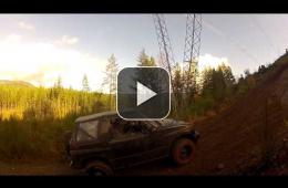
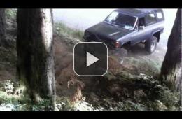
Port Alberni to Duncan / Cowichan alternate logging road route
- 1 of 10
- next ›
Recent Comments
Had an awesome ride yesterday to the summit of Mt. Irwin, with views of Port Alberni. The climb was 1,345 meters in elevation with some hard enduro at the top.
I also swapped to the new Tusk Ground Wire eMoto tire on the rear and even though it has a lot less sidewall it's been performing great. I'd say it's my favorite tire so far.
This bike always puts a smile on my face. Probably the most enjoyment I get from any of my toys.
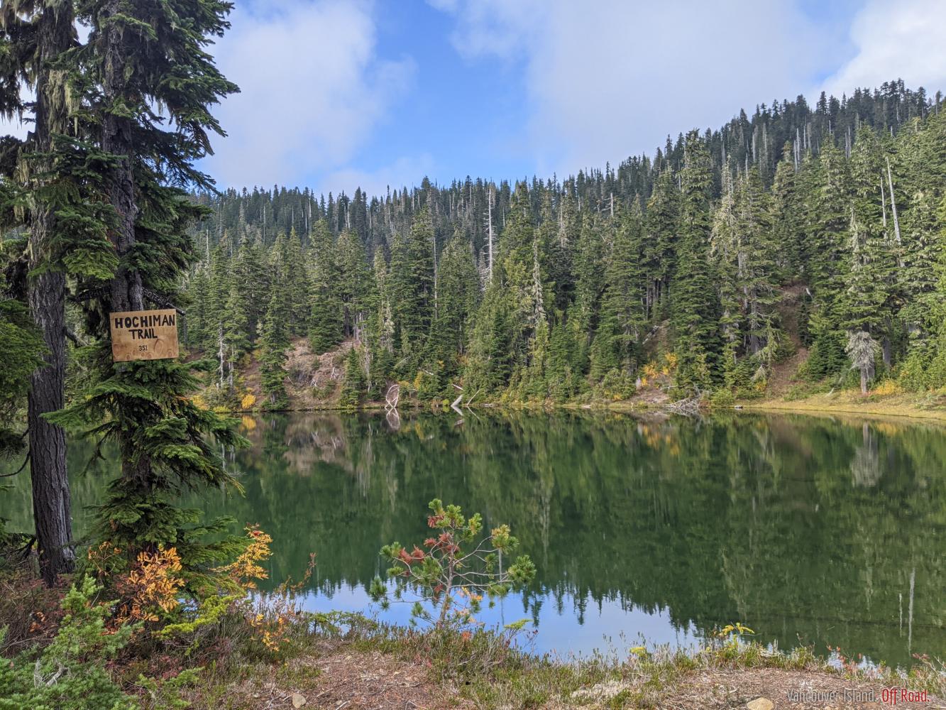
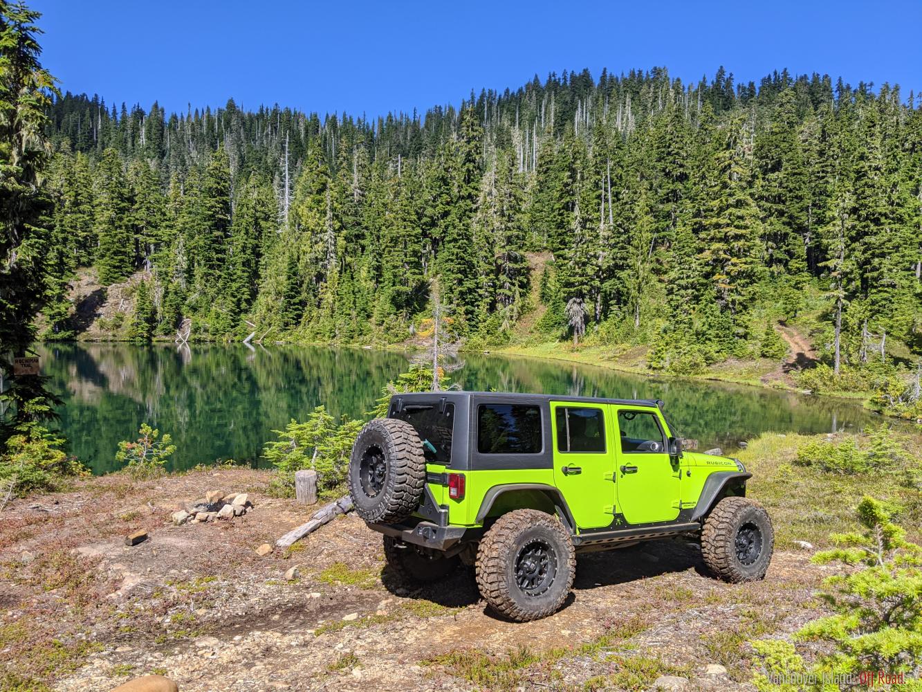
It's a beautiful area, but not really suited for wheeling. You can drive the logging roads and get a fair bit of elevation with some decent views, but the double track ends before you get to the old ski area and it becomes essentially walking trails. I think it might have some sort of protected status at the top as well as it contains a fairly unusual ecosystem. On the back side there is a small unmarked lake that had somewhat difficult access last I was there, but quite a nice spot.
Yea this is a sweet trail - I've been up a few times since my last post as well (during summer) and it's a really nice spot, alpine lake at the top and some killer views.
Not sure I've seen anything quite like that on the Island, but you can get close.
Mt Arrowsmith in Port Alberni offers some killer vistas from the top. Difficult access though and gates are usually only open on weekends.
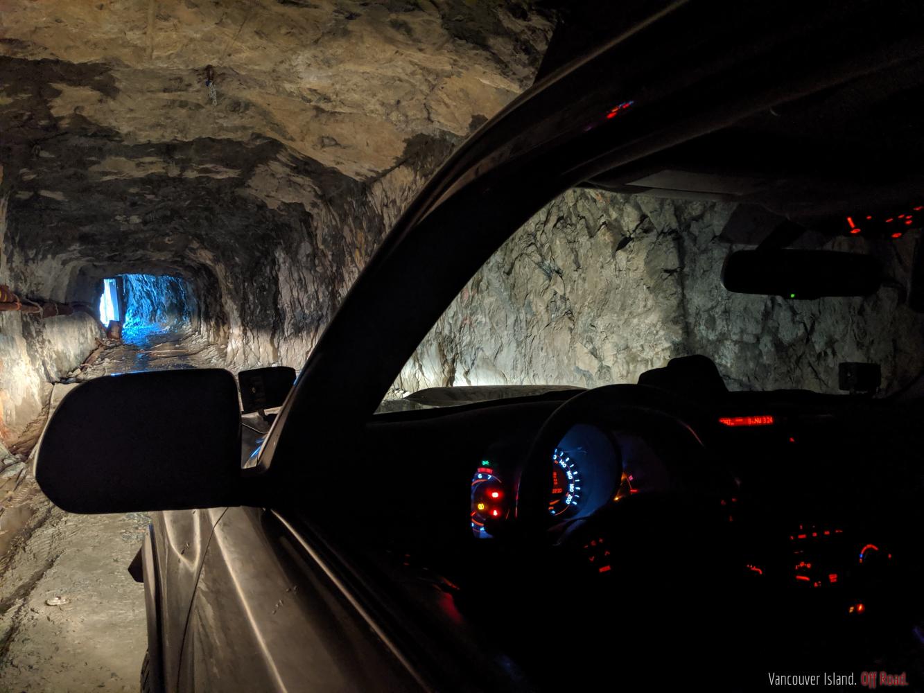
https://www.vioffroad.com/forum/routes-destinations/mt-arrowsmith-mt-cokely
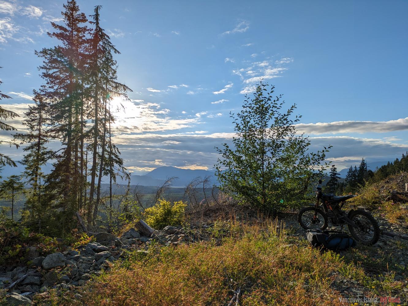
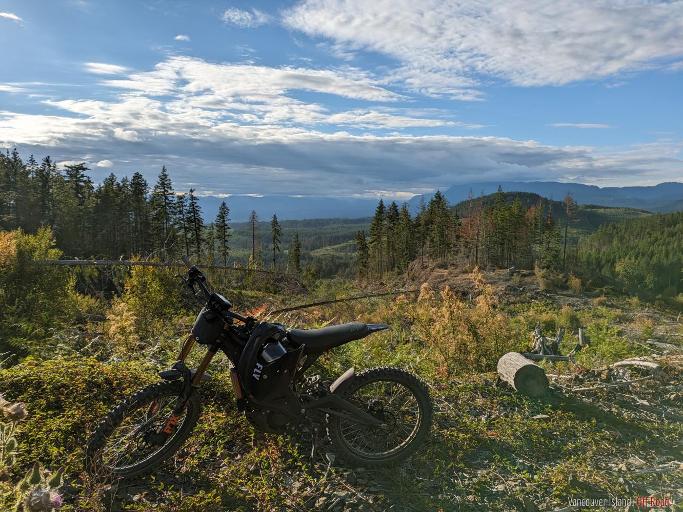
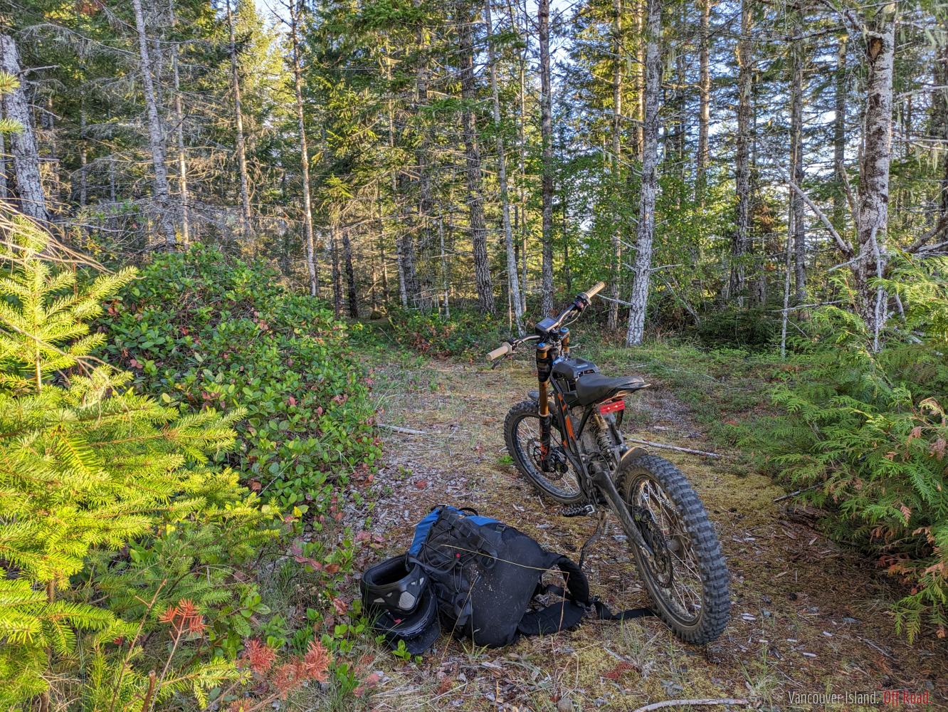
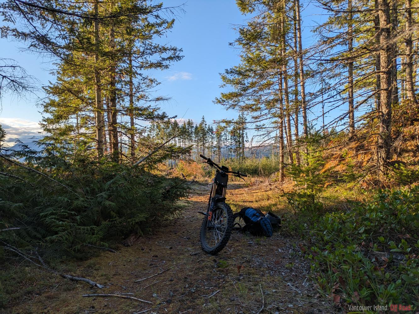
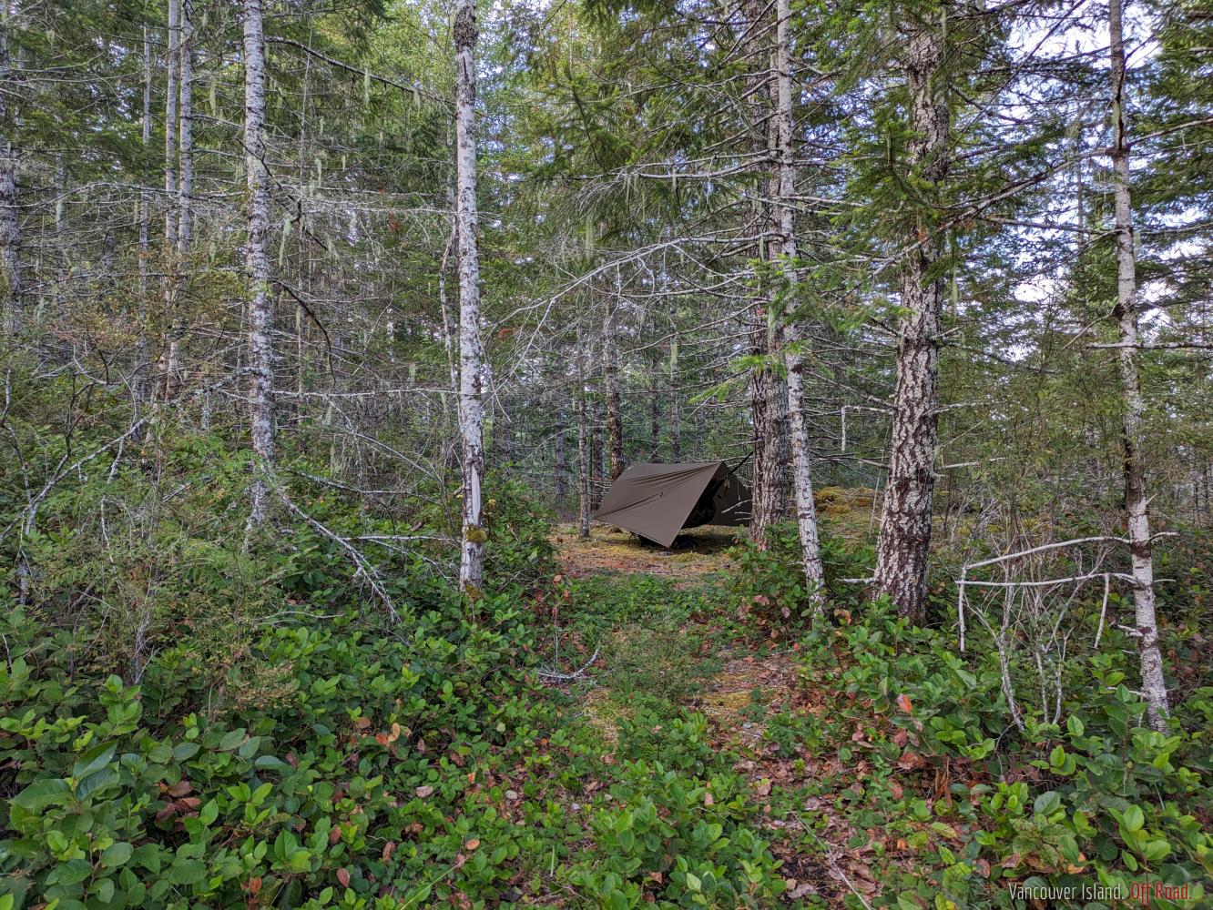
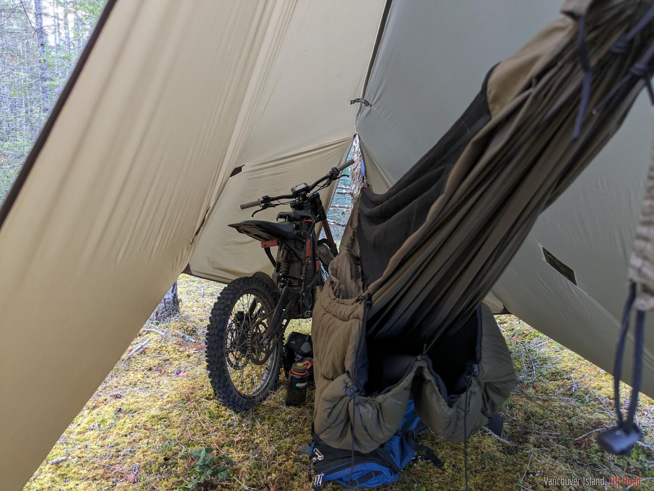
Did a little experimental backpack camping from the bike last night - worked pretty well!
- 1 of 117
- next ›